When you travel around the world you visit amazing places and see beautiful landscapes , but we will bet that you didn’t have any clue that some of these places on earth look so extraordinary , problem is , the only way to really see them right , is to go up . way up. Here are 29 impressive satellite pictures of places you probably been to but had no idea how they really look
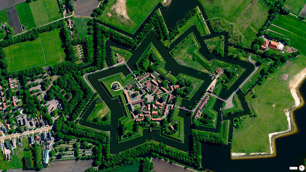
1 : Netherlands
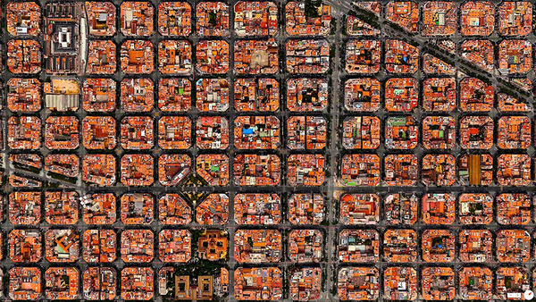
2 : Barcelona
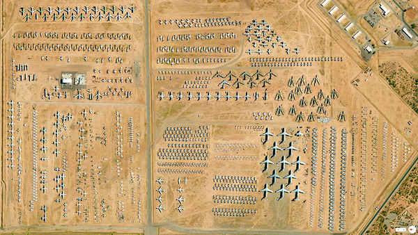
3 : Arizona , USA
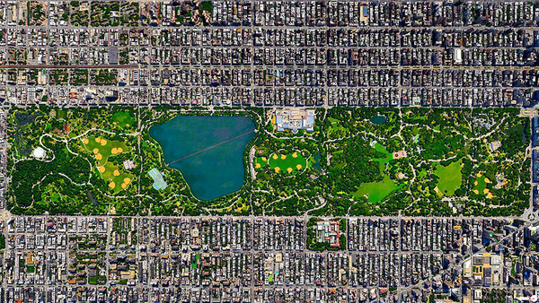
4 : Central Park , New York
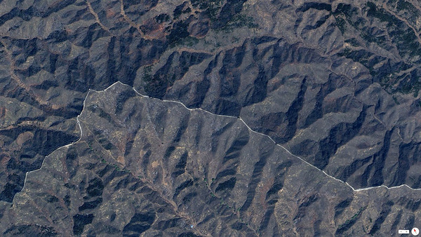
5 : The great wall , China
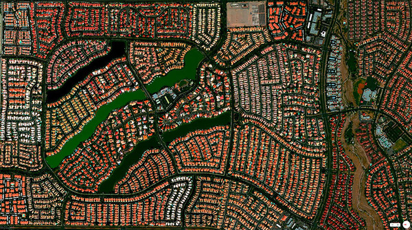
6 : Las Vegas , USA
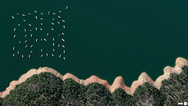
7 : California , USA
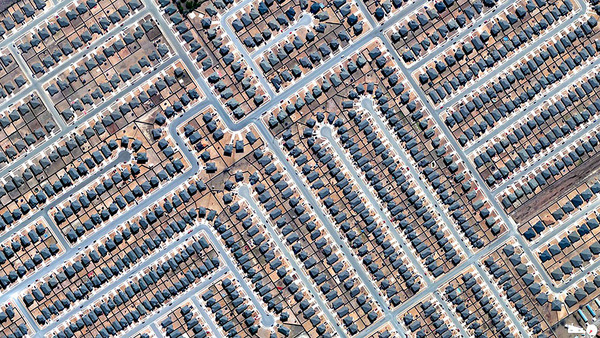
8 : Texas , USA
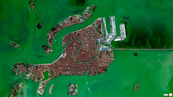
9 : Venice , Italy
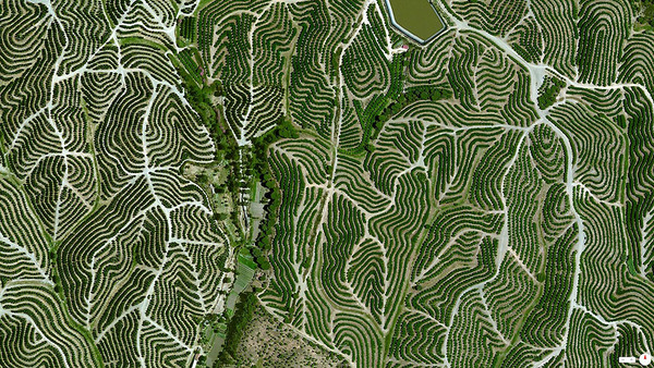
10 : Huelva , Spain
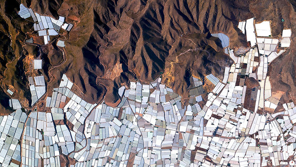
11 : Almeria , Spain – Everything you find in european supermarkets that comes from spain comes from these greenhouses
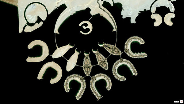
12 : Bahrain
13 : Brazil – Deforestation
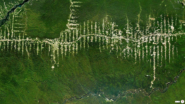
14 : New Jersey , USA
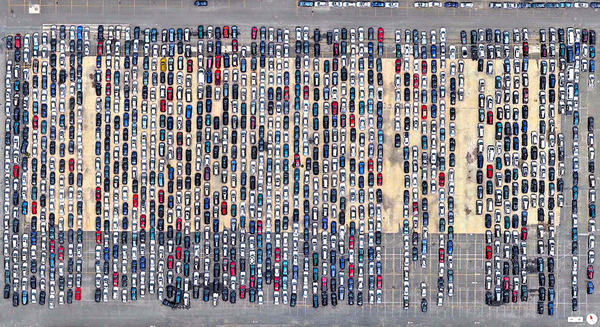
15 : Florida , USA
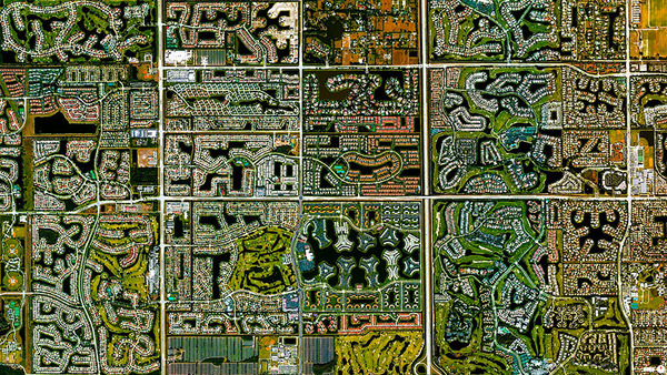
16 : Arizona , USA
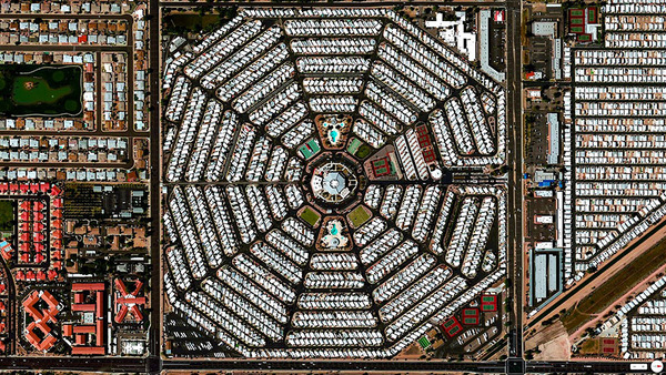
17 : Los Angeles , USA
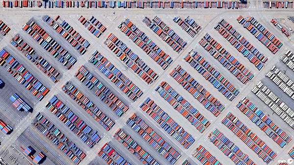
18 : Madrid , Spain
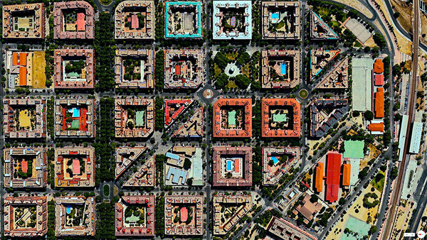
19 : Ethiopia
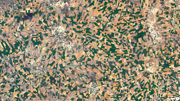
20 : Madrid , Spain
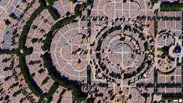
21 : Florida , USA
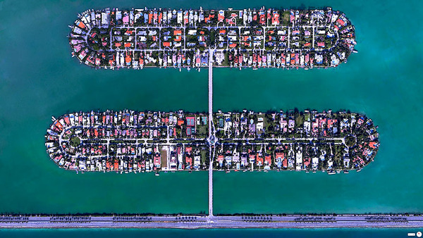
22 : Georgia , USA
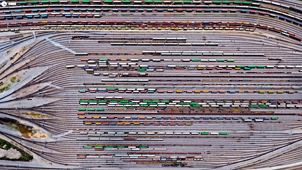
23 : Madrid , Spain
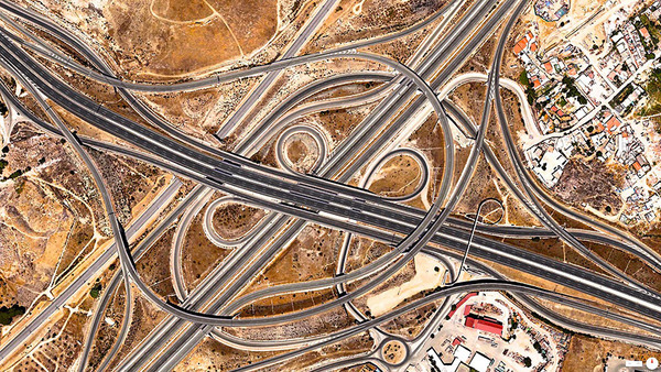
24 : Florida , USA
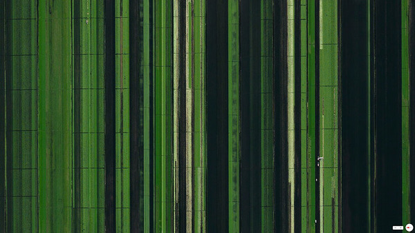
25 : Denmark
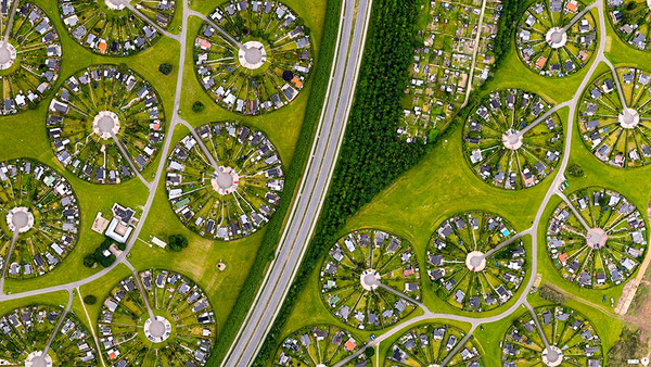
26 : China
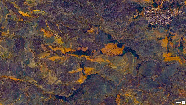
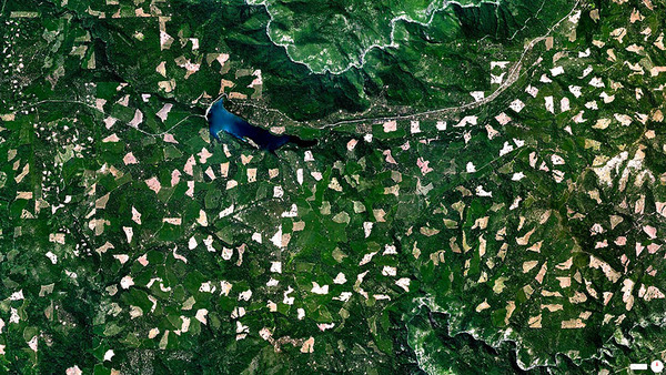
27 : California , USA – this is clearcutting in the woods
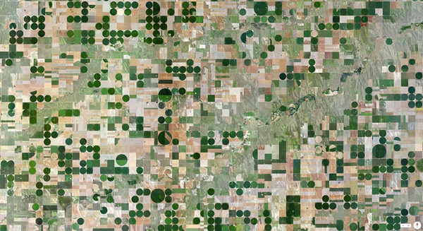
28 : Kansas , USA – You see here agriculture watering with circle facilities
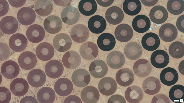
29 : Saudi Arabia
Source: Imgur


The Patterns are a testament to the photographer. When we move away from the detail to the overview we see a very different image. This is a good idea to place our ideas into a different perspective. Good post!
Love Netherlands, Denmark housing estates (why haven’t we thought of it?), and Madrid is impressive.